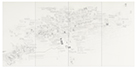
Vancouver DTES  
						                    2021-2022 
   
						                    Pencil on paper, 4 panels  
						                    Dimensions:180 x 365 cm 


Details                                                                                                                                                                                                                                                                                            Original          
  
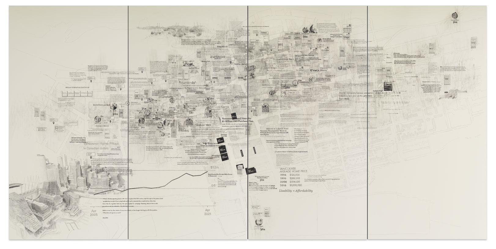
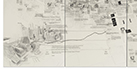
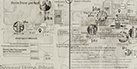
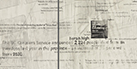
This drawing depicts the geographical layout of Vancouver's Downtown Eastside, with Hastings Street running diagonally from centre left to top right and Main Street cutting centre, top to bottom. On it are mapped all of the Single Room Occupancy Hotels (SROs) and the supportive housing in the area, as well as newly planned market-rate units. The drawing details rent prices and charts the rise of Canadian home prices. It documents the impact of Expo ’86 and the 2010 Olympics, the sale of the Expo lands and the new development Northeast False Creek. It maps gentrification, the location of the high-end restaurants moving into the area. It records and reports facts and statics on the deinstitutionalization of Vancouver's mental health facilities, the drug poisoning crisis, homelessness, and the survival sex trade.
    
                                                                                
                                       |  | 


                       					    |